Where Old Ink Meets Running Water
Step into a living investigation that uses historic maps to unearth forgotten streamside routes in the Scottish Highlands, pairing archives with wind, rain, and the murmur of burns. We’ll align centuries-old surveys with modern contours, tease meanings from Gaelic place‑names, and walk respectfully beside salmon-bright pools, reviving pathways once trodden by drovers, fishers, and families. Expect practical guidance, human stories, and careful fieldcraft that let you follow water’s guidance without leaving more than a light, grateful footprint.

Maps That Remember: Reading Old Sheets for New Paths
Begin with sources that hold stubborn memory: the Roy Military Survey, the Blaeu atlas, estate plans, and Ordnance Survey first editions, all freely browsable through the National Library of Scotland’s layers. Compare names and symbols along burns, follow contour-led benches above floodplains, and watch how pencilled tracks vanish or reappear. Each contrast between editions hints at crossings, shielings, and bridges that the ground still quietly confirms.
Drovers and the Feshie Mist
Imagine grey light over the River Feshie as cattle file towards shallow gravels a grandfather named without maps. On Roy, a faint path grazes the bank; on the ground, lichen‑slick stones and a ruined dyke verify a practiced crossing, used at dawn to dodge heat, flies, and crowds.

Whisky in the Winding Glen
After the Excise men passed, night carried small feet along the burn to a hidden still, its smoke wet and thin. Estate plans show a hut at a bend; a later OS note records a spring. Together they triangulate a safe, dim byway that kept livelihoods breathing.
Fieldcraft Beside Fast Water
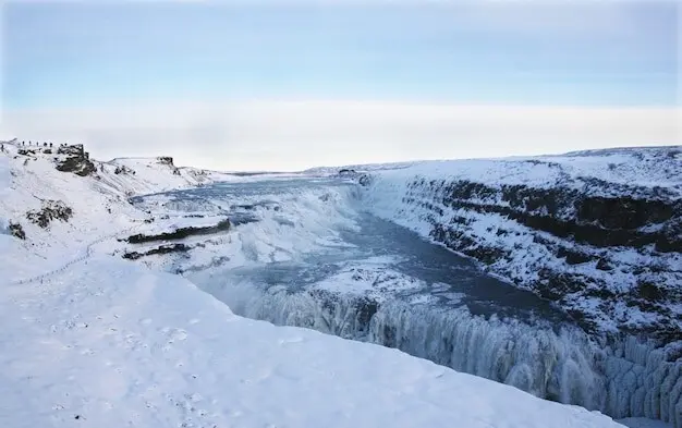
Preparation transforms curiosity into safe discovery. River levels swing with weather, snowmelt, and hydro release; paths crumble after winter spates. Work with forecasts, daylight, and escape options. Carry robust mapping tools and layers fit for squalls. Above all, leave room for respect, retreat, and the quiet patience that running water teaches.


Landscape Clues That Lead Your Feet
Water shapes lanes even when maps fall silent. Look for terraces, dry shoulders above floodlines, and animal trods that bypass mire. Notice debris caught high in branches, boulders polished bright, and alder roots braided by spate. Reading these signatures turns guesswork into grounded, observant movement across living, changing ground.
Terraces, Spurs, Cataracts, and Confluences
Terrace edges often carry old lines just beyond spray, while spurs offer dry shortcuts between bends. Approaching a cataract, listen for quieter braids; at a confluence, seek gravel tongues that simplify fording. Collect these cues like stepping stones, each one narrowing risk and clarifying the next confident move.
Braided Gravels, Peat Hags, and Glacial Memory
When the channel splits across shingle, yesterday’s easiest line may sleep under today’s flow. Peat hags announce soft traps beyond; moraines and erratics hint at benches left by ice. Align micro-choices with this memory, favoring firm ribs, shallow fans, and sheltering knolls that tame gusts and spindrift.
Animal Paths and the Art of Micro-Routefinding
Deer, sheep, and goats share good judgement near water, curving just above the soak line on durable turf. Borrow their angle, but confirm with your map. Where treads divide, choose higher ground and pause to reassess, keeping crossings reversible and your day woven with spare, recoverable options.
Routes to Try: Affric, Dee, and the Far Northwest
South of Loch Beinn a’ Mheadhoin, first‑edition sheets sketch a track contouring above the River Affric before slipping to a single‑arch bridge marked ruin. On the ground, abutments linger and cattle prints persist. Visit in low water, loop higher through Caledonian pine, and return along terrace‑firmed turf.
From Marble Lodge, follow estate notes and OS hachures upstream, where the Tilt braids then calms. A ford marked on older editions still aligns with a shingle fan; a lattice bridge downstream offers backup. Watch spate marks on alders, and keep a moorland escape plotted in reserve.
Between Inchnadamph and Loch Assynt, the Traligill system sinks and rises, frustrating straight lines and rewarding patience. Compare sink points on maps with today’s flows, then track benches towards the Bone Caves and onward to shore. Expect wind‑stacked surf, otter slides, and limestone turf easier underfoot than distant peat.

Care, Contribution, and Continuing the Search
The joy of rediscovery grows when shared carefully. Protect fragile habitats and heritage while opening doors for others through stories, maps, and respectful guidance. Together we can revive streamside ways as living, low‑impact corridors that honor culture, welcome wildlife, and reward patient walkers with quiet, river‑bright companionship.
All Rights Reserved.